Tesla Shifts Strategy, Building Proprietary Maps for Full Self-Driving
The automaker plans to construct a proprietary map system to improve navigation and parking capabilities within its autonomous driving software.
By Mariana Delgado ·
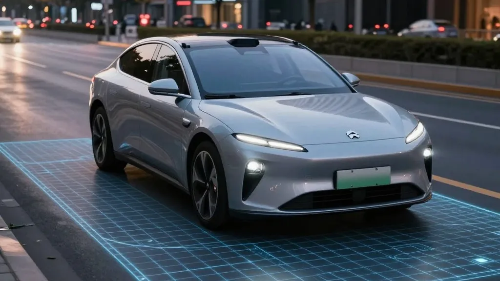
Tesla is changing its approach to autonomous driving by building its own maps to address issues with its Full Self-Driving software. The company’s head of AI discussed the initiative during the Q3 2026 earnings call. This move marks a significant pivot for a firm that previously argued against the necessity of high-definition mapping technology.
The issue arose during a shareholder query regarding persistent problems with the software, specifically concerning the interpretation of speed limits, parking maneuvers, and route selection. Ashok Elluswamy, Tesla's VP of AI, acknowledged the need for independence in this area, stating, "we shouldn't be depending on external people's maps." He confirmed that Tesla is developing a new AI-based mapping and navigation architecture powered by data collected from its vehicle fleet. This system will also learn individual driver preferences and respond to voice commands.
Tesla intends to roll out this functionality in stages. The technology will begin by managing the start and end of trips with FSD v15. In the months that follow, it will assume control over navigation, parking, and destination handling. This represents a reversal for the company. In 2015, Tesla told Fortune it began building high-precision maps with “100 times the level of granularity” of standard navigation using data from its customer cars.
However, at its Autonomy Day in 2019, Elon Musk stated that Tesla had tried high-precision lane maps and realized it was “a huge mistake.” He called relying on them a “really bad idea” that makes a self-driving system “extremely brittle.” This shift suggests a concession regarding the limits of vision-only systems. While Tesla has always utilized navigation maps, the company is now seeking to replace third-party providers with its own data to solve specific environmental understanding issues.
The company is attempting to correct failures in reading speed limits and handling parking. Recent reports highlight these shortcomings. Last month, a Belgian road safety group found that FSD sped in 55% of the 30 km/h zones tested in Brussels, averaging 44 km/h, because the car’s screen showed a 50 km/h limit. In the US, NHTSA is weighing an investigation into claims that Tesla Robotaxis speed through active school zones, covering about 1,000 Model Y and Cybercab vehicles.
This strategy aligns Tesla with the operational methods of Waymo. Waymo maps a city by driving its sensor-equipped vehicles through it before launching service. Tesla is now describing a similar concept where its fleet collects data to feed a Tesla-built map that aids every vehicle. The primary distinction remains that Waymo’s vehicles utilize lidar, while Tesla relies on cameras. Despite the differences, both companies are building maps to assist their cars in driving better.
This development coincides with Tesla’s Robotaxi service operating city by city within small geofenced service areas. Tesla is not currently discussing centimeter-level HD maps, but a system built from millions of cars that provides detailed data could head in that direction. The company continues to operate in geofenced areas with maps, a method Musk previously dismissed as not constituting a “true self-driving system.”
Source: Electrek